
Wetland Delineation
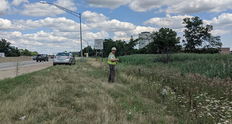
ASTI has conducted thousands of wetland and stream delineations across Michigan and the Great Lakes region, providing accurate and defensible field assessments that support project planning and regulatory compliance. Our team includes certified wetland scientists, professional ecologists, and GIS specialists who utilize the latest delineation methods and mapping technology. We have extensive experience delineating a variety of wetland types and hydrologic features, from urban infill sites to large-scale infrastructure corridors. Our clear and well-documented reports streamline the permitting and development process.
Projects
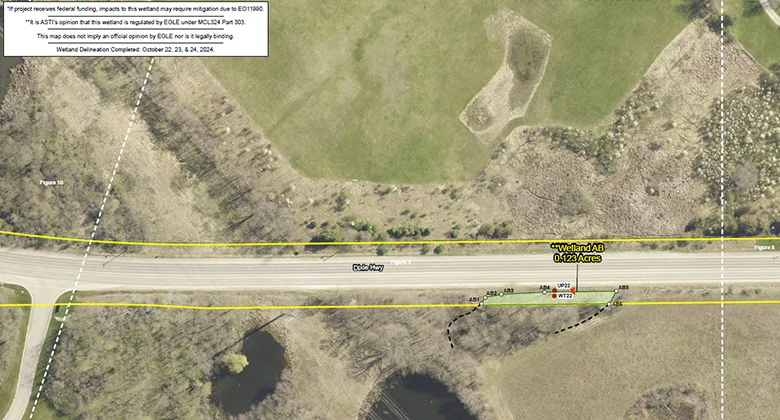
Michigan Department of Transportation Wetland Delineation and Assessment
Oakland County (Multiple Municipalities), MichiganMichigan Department of Transportation Bay Region Transportation Corridors
Bay Region, Michigan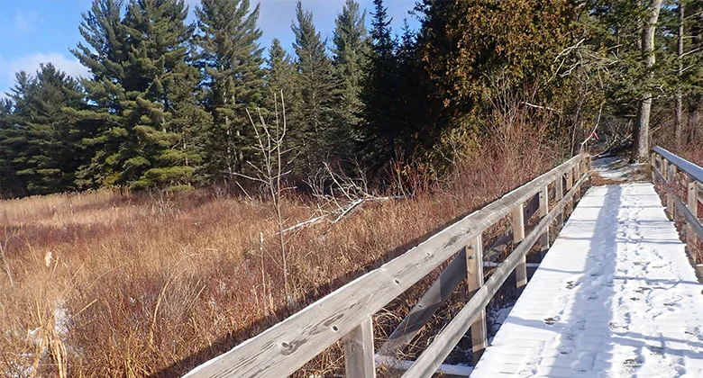
Wilderness State Park Wetland and Stream Delineation
Carp Lake, Michigan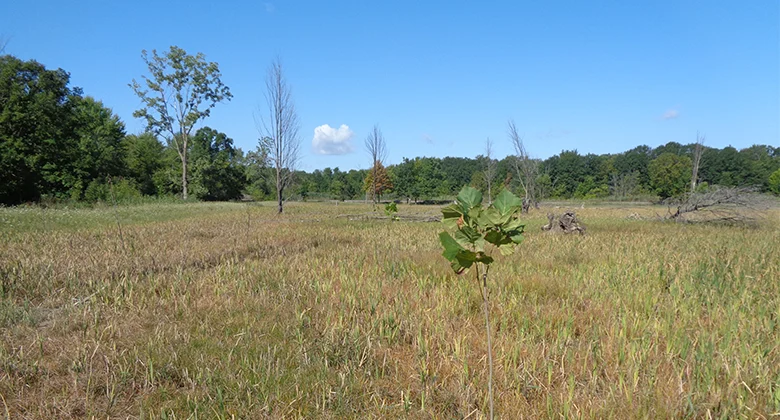
Pine Tree Acres
Lenox, Michigan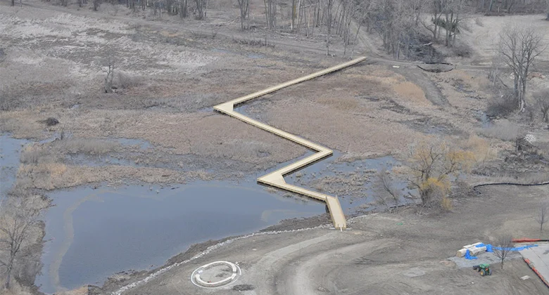
Lake St. Clair Coastal Wetland Restoration
Harrison Township, Michigan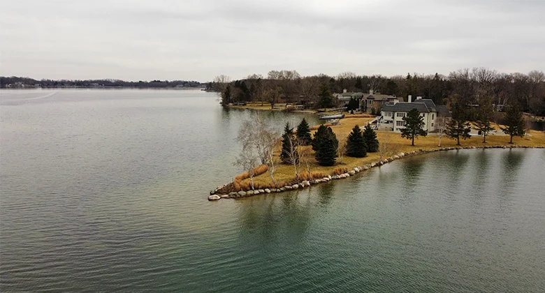
City of Orchard Lake Village Environmental Consultant
Orchard Lake, Michigan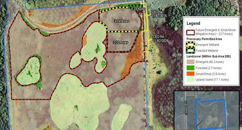
Crosswinds Marsh
Romulus and Sumpter Township, Michigan
Deerbrook PUD Wetland Delineation and EGLE Permitting
Macomb Township, MI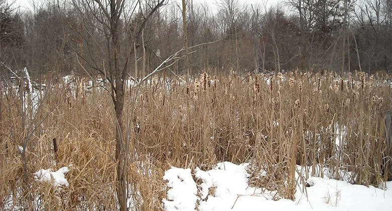
Putman Township Wetland Delineation and Phase I Environmental Site Assessment
Putman Township, Michigan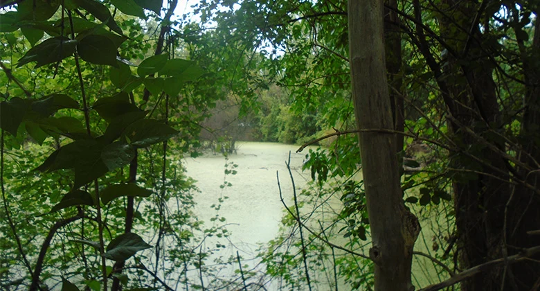
Wetland Reviews for Municipalities
Multiple Locations, Michigan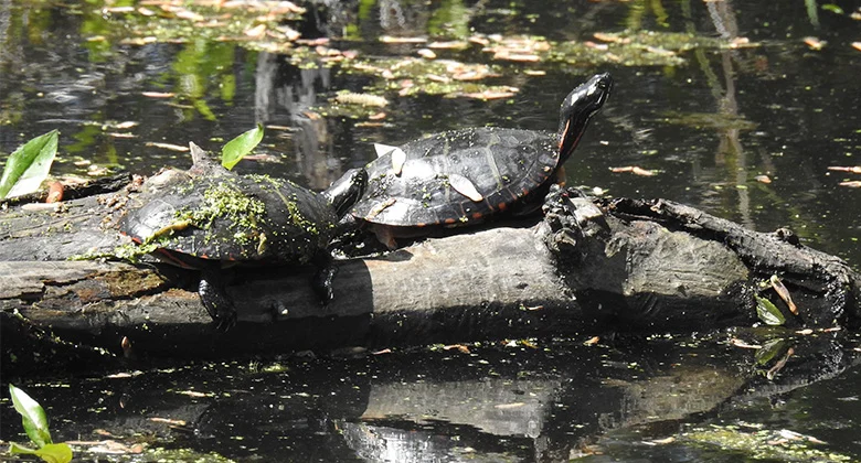
Troy School District Habitat Assessment
Troy, Michigan
Equus Hills, LLC Habitat Assessment
Putman Township, Michigan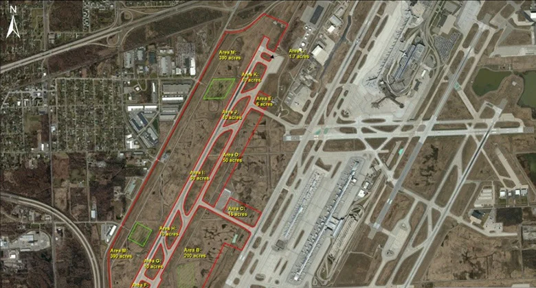
RS&H Endangered Species – DTW Runway 4L
Romulus, Michigan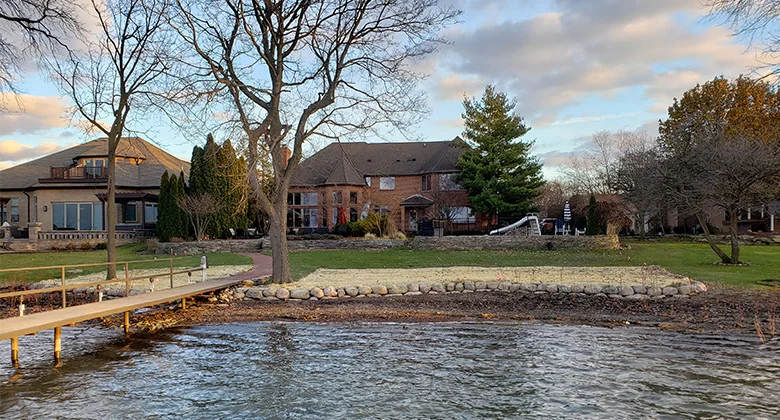
Detroit River Shoreline Restoration
Grosse Ile, Michigan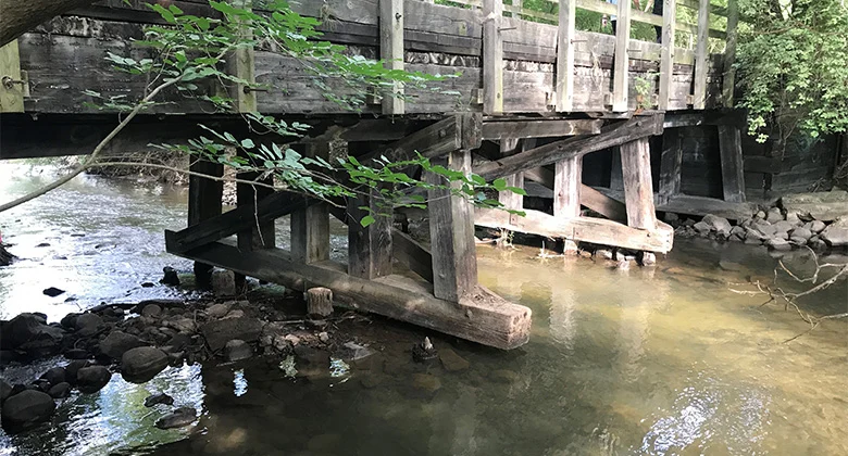
Paint Creek Trailways Bridge Replacement
Rochester, MichiganNeed help with your project?
Our experts are here to discuss your needs and how we can help you move your project forward.