Michigan Department of Transportation Wetland Delineation and Assessment
Oakland County (Multiple Municipalities), Michigan
- Client
- Michigan Department of Transportation
- Project Type
- Ecological
- Services
-
- Wetlands
- Streams
- Wetland Delineation
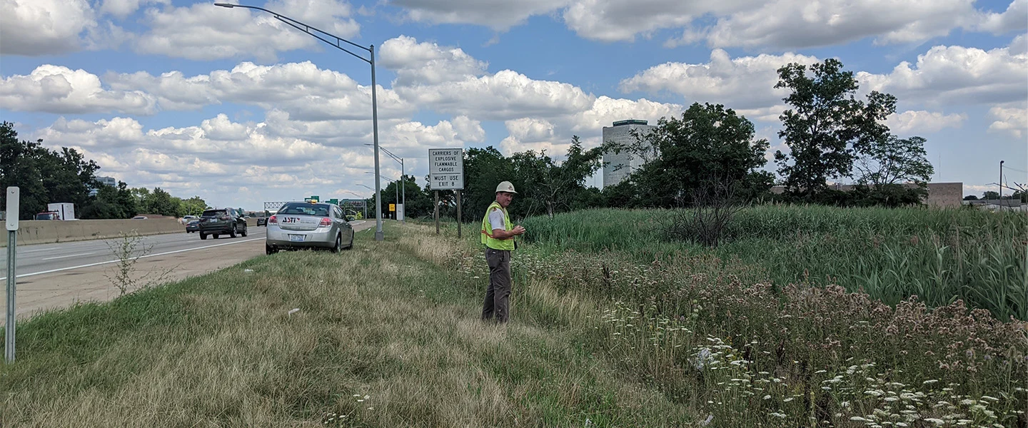
ASTI was retained to delineate all wetland, lake, and stream boundaries within two major transportation corridors for MDOT totaling approximately 22 miles:
- I-96 from Kent Lake Road to I-275
- I-696 from I-275 to Lahser Road
All work was to aide in determining potential wetland and stream impacts from road improvements. This work was based on MCL 324 Part 301 (Inland Lakes and Streams) and Part 303 (Wetland Protection), as well as appropriate Memoranda of Understanding between MDOT and EGLE.
ASTI identified, mapped, and assessed wetlands, lakes, and streams within the rights-of-way of the project areas using a survey-grade GPS. Electronic mapping information from ASTI’s GIS was provided to MDOT along with a report of findings for further planning uses. ASTI also completed a preliminary wetland analysis assessment for the project area prior to fieldwork.