City of Rochester Hills Natural Features Inventory
Rochester Hills
- Client
- City of Rochester Hills
- Project Type
- Ecological
- Services
-
- Habitat Planning, Mapping, and Management
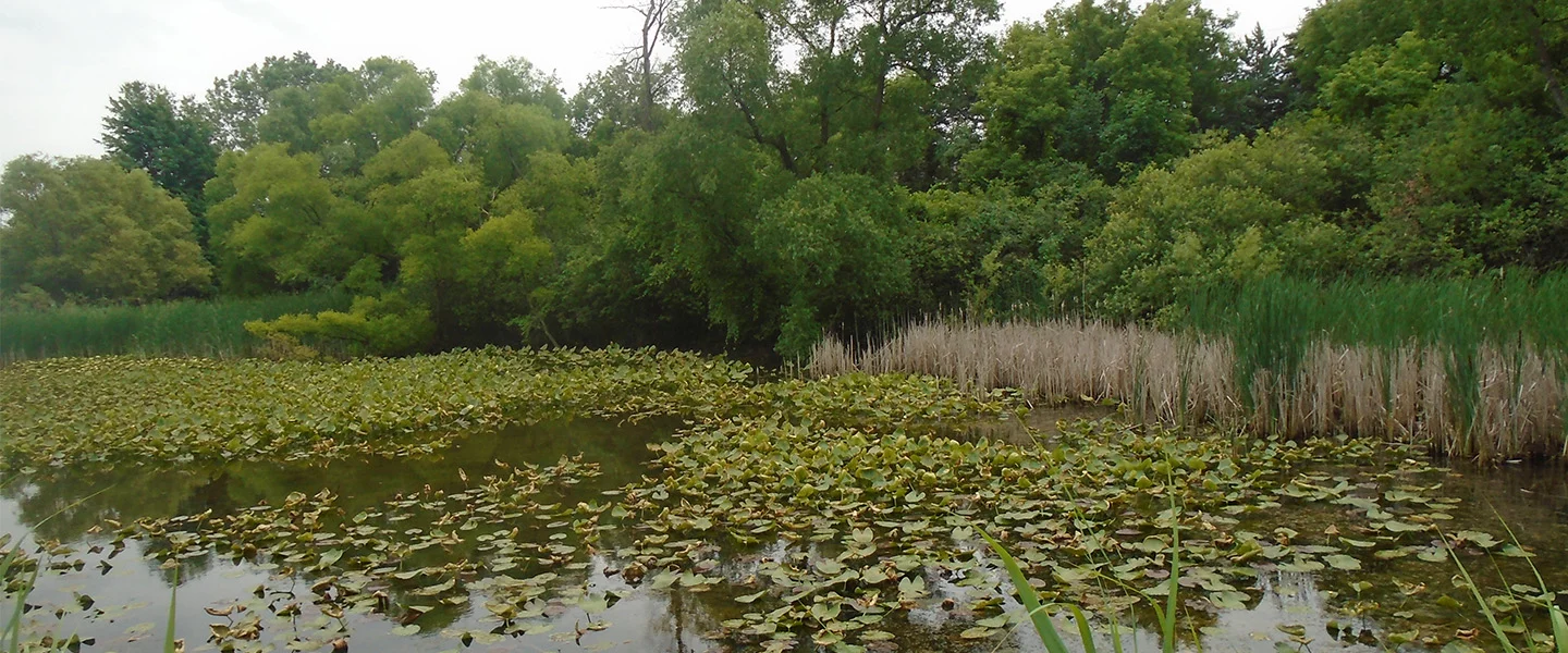
ASTI collaborated with the City of Rochester Hills to update the City’s Natural Features Inventory (NFI) mapping and assessment. ASTI utilized City GIS data developed from the previous NFI work for reference in completing the updated NFI. To ascertain changes in the City’s natural areas, ASTI completed field inspections throughout the City to determine current wetland and woodland coverage through publicly accessible areas. Publicly available aerial photography was also utilized to assist in determining natural area extents within private lands that were not otherwise accessible. ASTI also relied on professional knowledge derived from over twenty years of assisting the City during development and conservation projects as the City’s wetland consultant.
ASTI completed comprehensive field inspections in July 2022, which canvassed the entire City. Boundaries of all natural areas were verified and documented in the field and reviewed against current and historical aerial photography, while referencing the additional data sources noted above, as applicable. ASTI noted the size, types, ecological quality, connectivity, current and surrounding land uses within and around all natural resources in the City. ASTI then imported these data into a City-approved natural area scoring matrix, which was used to determine a measurable value of the ecological importance for the City and for use for GIS mapping. The updated NFI was used by the City for planning purposes including, but not limited to, determining best engineering practices, proposed development impacts, appropriate areas to promote or require conservation and preservation of natural areas, and for overall long term master planning, which also included a determination if current City natural resource ordinances provided adequate protection of natural areas meeting the goals and objectives of the City’s Master Land Use Plan.